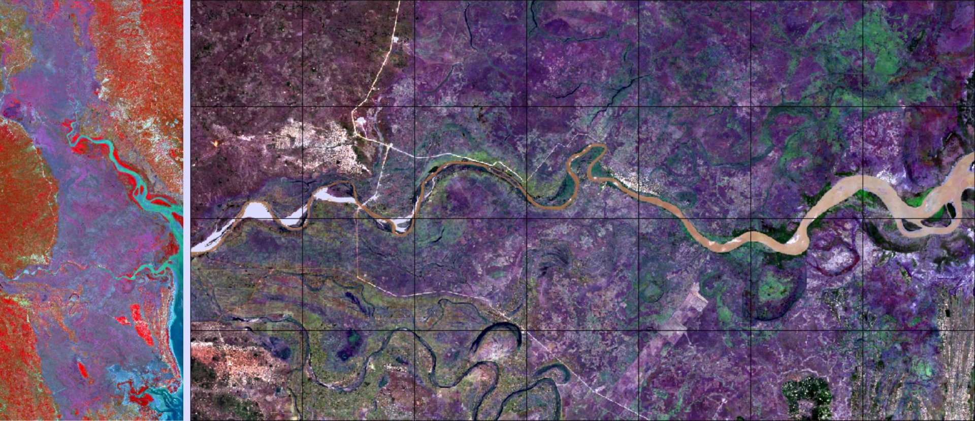
Surface Flood Modelling Supported by Cloud-Based RS GIS
January 29 - February 23, 2024 Online course with live-chat Optical imagery supports a more natural identification of water bodies and digital elevation models add to the identification of potential flood areas. This course will review all these concepts and add a foundational but complete layer on surface water modelling using a full 2D version of HECRAS free software. https://www.eoafrica-rd.org/space-academy/on-line-courses/surface-flood-modelling-supported-by-cloud-based-rs-gis/10th on the EO AFRICA R&D Facility Online Courses

