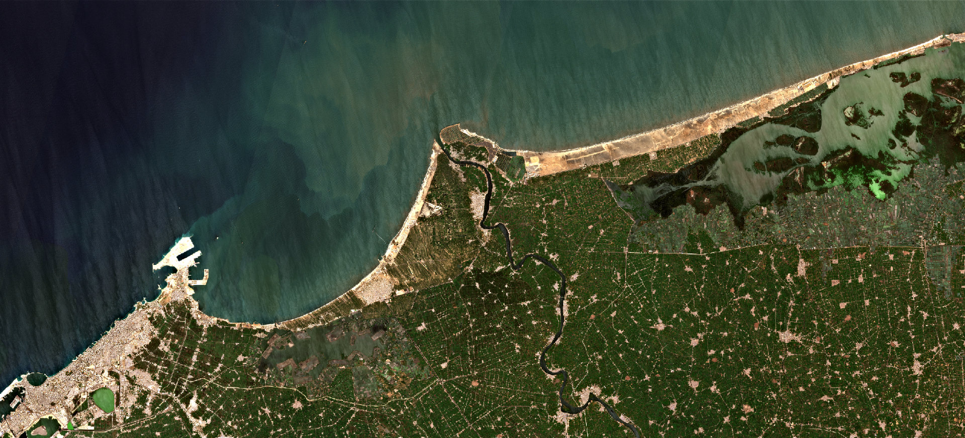
21st on the EO AFRICA R&D Facility Webinar Series is now available in our YouTube channel
The 21st Webinar on the EO AFRICA R&D Facility Webinar Series is now available in our YouTube channel: Deriving Water Quality Indicators and Indices from Sentinel-2 Using Cloud Computing The webinar explores the methodologies for deriving water quality indicators from
Read more
20th on the EO AFRICA R&D Facility Webinar Series is now available in our YouTube channel
The 20th Webinar on the EO AFRICA R&D Facility Webinar Series is now available in our YouTube channel: Using the new H SAF 6.25km ASCAT soil moisture data for drought monitoring The ASCAT soil moisture service, offered by EUMETSAT, is
Read more
Advisory Board Announcement
We are pleased to announce that Professor Abel Ramoelo, Executive Director of Earth Observation at the South African National Space Agency (SANSA), has joined our Advisory Board.
Read more
21st on the EO AFRICA R&D Facility Webinar Series
- Deriving Water Quality Indicators and Indices from Sentinel-2 Using Cloud Computing | Wednesday, 23 April 2025, 14:00 CEST (UTC + 2) | Online webinar with live-chat | This webinar explores the methodologies for deriving water quality indicators from Sentinel-2 data using cloud computing.
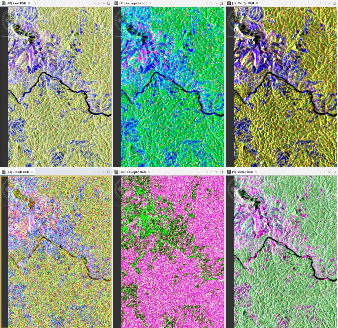
19th on the EO AFRICA R&D Facility Webinar Series is now available in our YouTube channel
The 19th Webinar on the EO AFRICA R&D Facility Webinar Series is now available in our YouTube channel: Mapping Our Planet in High Resolution: Advancing Land Cover and Degradation Monitoring with Sentinel Data This webinar introduces the fundamentals of PolInSAR
Read more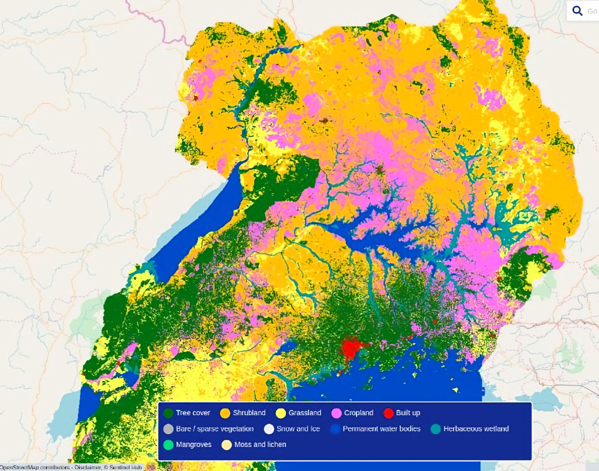
18th on the EO AFRICA R&D Facility Webinar Series is now available in our YouTube channel
The 18th Webinar on the EO AFRICA R&D Facility Webinar Series is now available in our YouTube channel: Mapping Our Planet in High Resolution: Advancing Land Cover and Degradation Monitoring with Sentinel Data This webinar explores how these innovations, coupled
Read more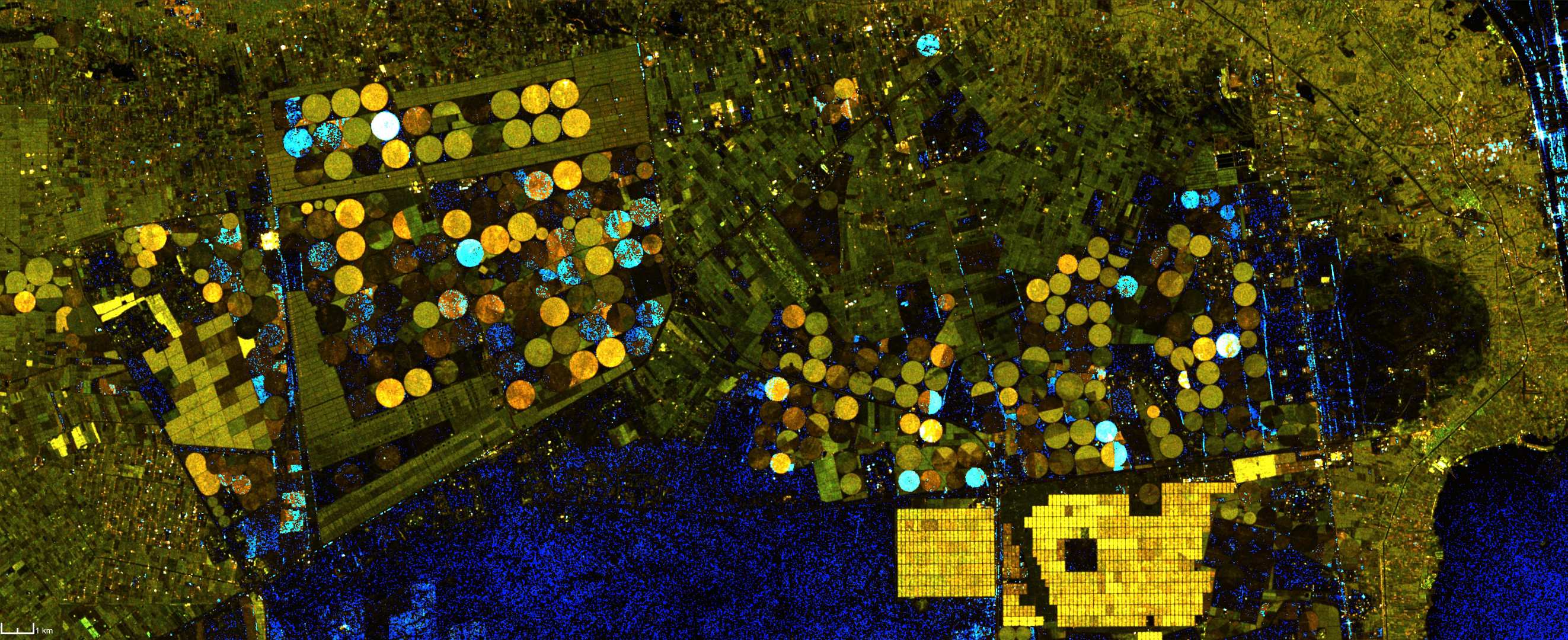
5th on the EO AFRICA R&D Facility Second Phase Online Courses
- PolInSAR Processing and Applications | May 26 – June 20, 2025 | Online course with live-chat | This online course equips participants with a fundamental knowledge of PolInSAR processing and application concepts. During the course participants will refresh their knowledge of principles and properties of SAR remote sensing and SAR images interpretation.

20th on the EO AFRICA R&D Facility Webinar Series
- Using the new H SAF 6.25km ASCAT soil moisture data for drought monitoring | Wednesday, 16 April 2025, 15:00 CEST (UTC + 2) | Online webinar with live-chat | This webinar presents the key changes in the ASCAT soil moisture retrieval algorithm and explain how they contribute to improved drought monitoring.

19th on the EO AFRICA R&D Facility Webinar Series
- Introduction to PolInSAR for agriculture monitoring and mapping | Wednesday, 26 March 2025, 14:00 CET (UTC + 1) | Online webinar with live-chat | This webinar introduces the fundamentals of PolInSAR technology and its possible applications in agriculture monitoring based on selected case studies in Africa. We will explore PolInSAR capabilities in estimating vegetation height and biomass, tracking phenological stages, and improving precision farming practices.
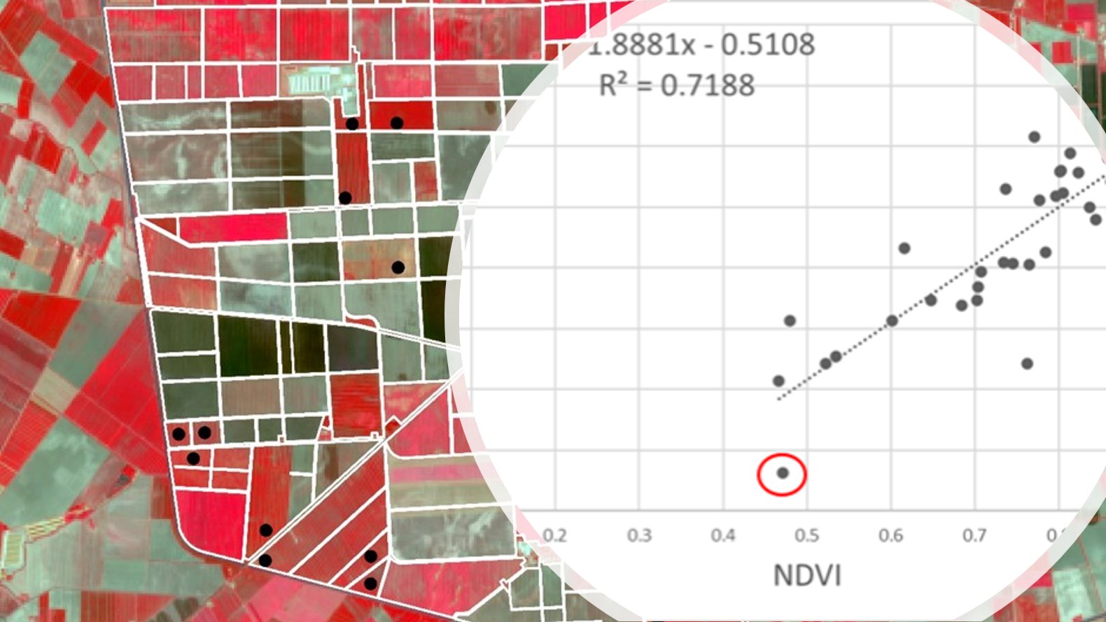
4th on the EO AFRICA R&D Facility Second Phase Online Courses
- High-resolution crop monitoring for food security using EO | April 14 – May 9, 2025 | Online course with live-chat | The ever-increasing spatial resolution offered by the newest generation of satellite sensors allow us to monitor crops at the scale of individual parcels and to quantitatively estimate or predict agricultural production (area × yield) and water-use for applications in food security analysis.
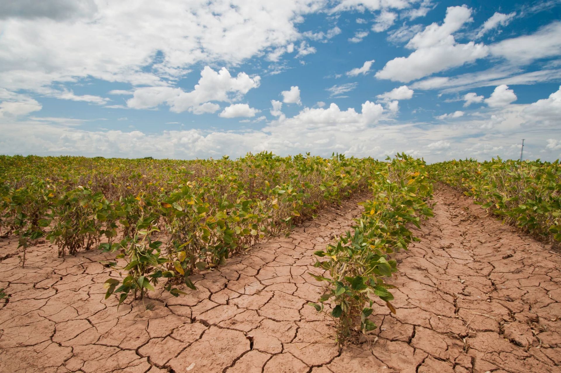
4th on the EO AFRICA R&D Facility Second Phase Face to Face Courses
- Face to Face course on Agricultural Monitoring from Space | April 7 – 11, 2025 | Abuja, Nigeria | A 5-day course (6h per day), including theoretical lectures and hands-on exercises to increase your understanding and skills related to the use of satellite data for agricultural monitoring.

18th on the EO AFRICA R&D Facility Webinar Series
- Mapping Our Planet in High Resolution: Advancing Land Cover and Degradation Monitoring with Sentinel Data | Wednesday, 5 February 2025, 14:00 CET (UTC + 1) | Online webinar with live-chat | This webinar explores how these innovations, coupled with emerging datasets and services, are being utilized to monitor global land cover and land degradation, supporting sustainable development and environmental conservation.

Version 3 of the MOOC on Drought Assessment and Monitoring from Space
Version 3 of the MOOC on Drought Assessment and Monitoring from Space is launched. The Chapters on Cloud Computing and Earth Observations Advances have been updated. Some additional webinars are included in the MOOC v3. For the presentations, both French and English subtitles can be displayed over the presentation.
Read more
EO AFRICA R&D Facility – 2024 Overview
2024 was an exciting year for all involved in the EOAFRICA R&D Facility. Phase 1 ended successfully with the 10th F2F course being held in Senegal jointly with Laboratoire de télédétection appliquée, Université Cheikh Anta Diop de Dakar in Dakar.
Read more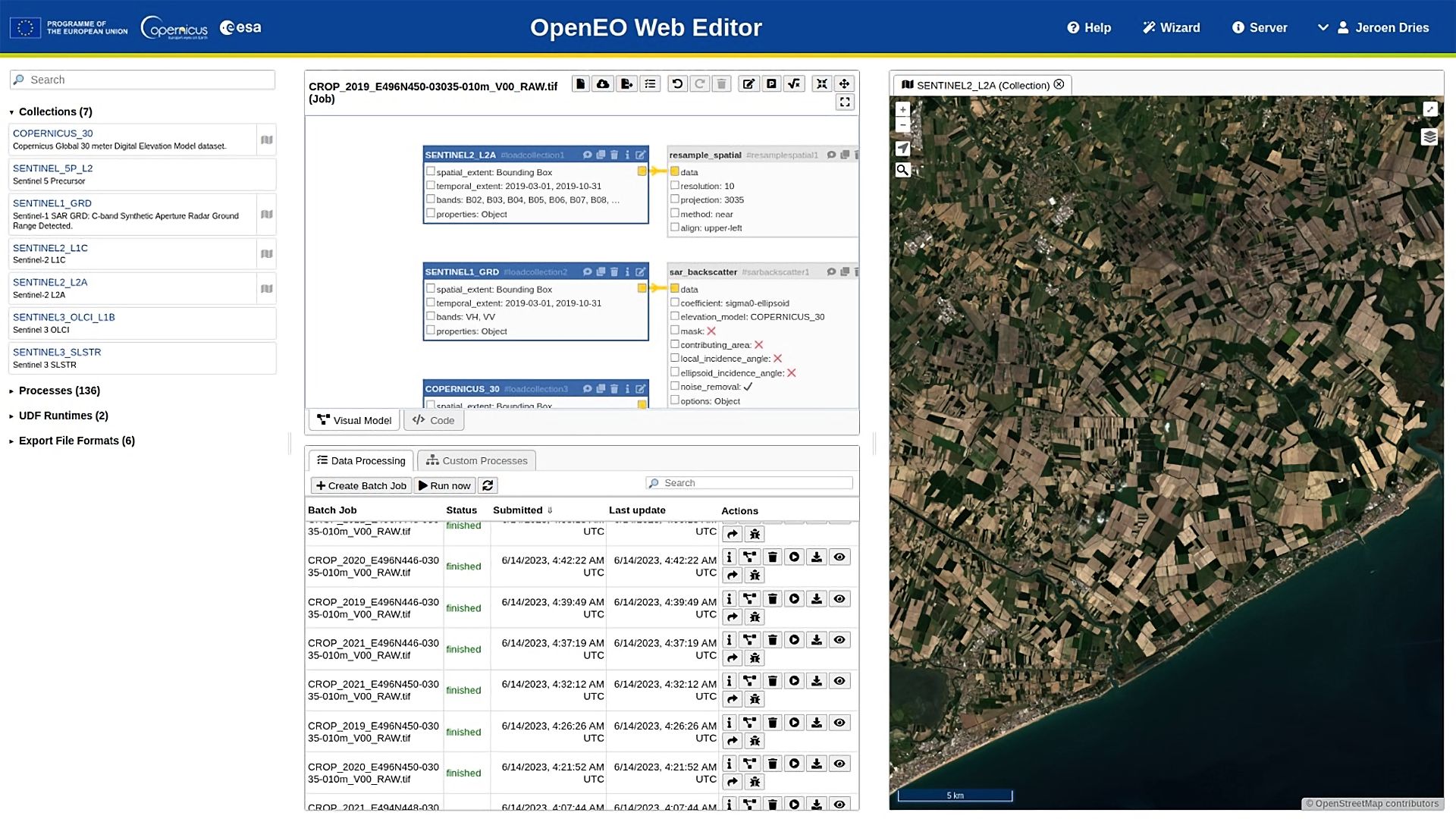
17th on the EO AFRICA R&D Facility Webinar Series is now available in our YouTube channel
The 17th Webinar on the EO AFRICA R&D Facility Webinar Series is now available in our YouTube channel: Advances in EO Cloud Computing: OpenEO This webinar explores the growing role of cloud computing in analyzing and processing Earth Observation (EO)
Read more
3rd on the EO AFRICA R&D Facility Second Phase Face to Face Courses
- Face to Face course on Satellite Atmospheric Data Validation and Application for Africa | April 14 – 18, 2025 | Ben Guerir, Morocco | A 5-day course (8h per day). The sessions will focus on the basics of atmospheric remote sensing, present the satellite data available and address the challenges to access them in Africa.
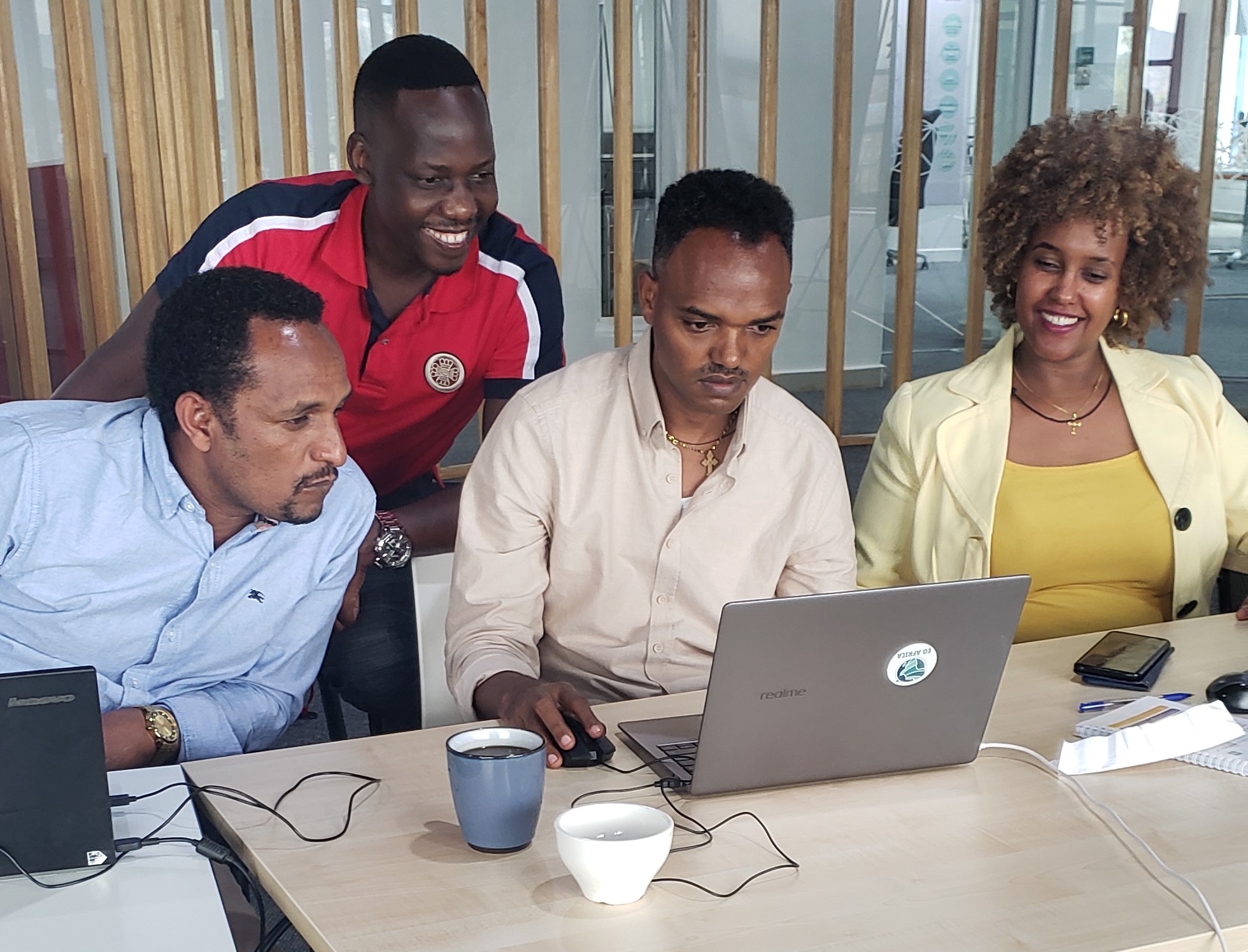
Announcing the EO AFRICA R&D Research Projects – Awarded Proposals (Third Call)
Following the successful first two rounds of calls for research proposals, the EO AFRICA R&D Facility, in coordination with the European Space Agency (ESA) and the African Union Commission (AUC), launched in July 2024 a 3rd call for proposals. The aim of this call is to extend the support to African-European collaborative research efforts in the domain of EO applications.
Read more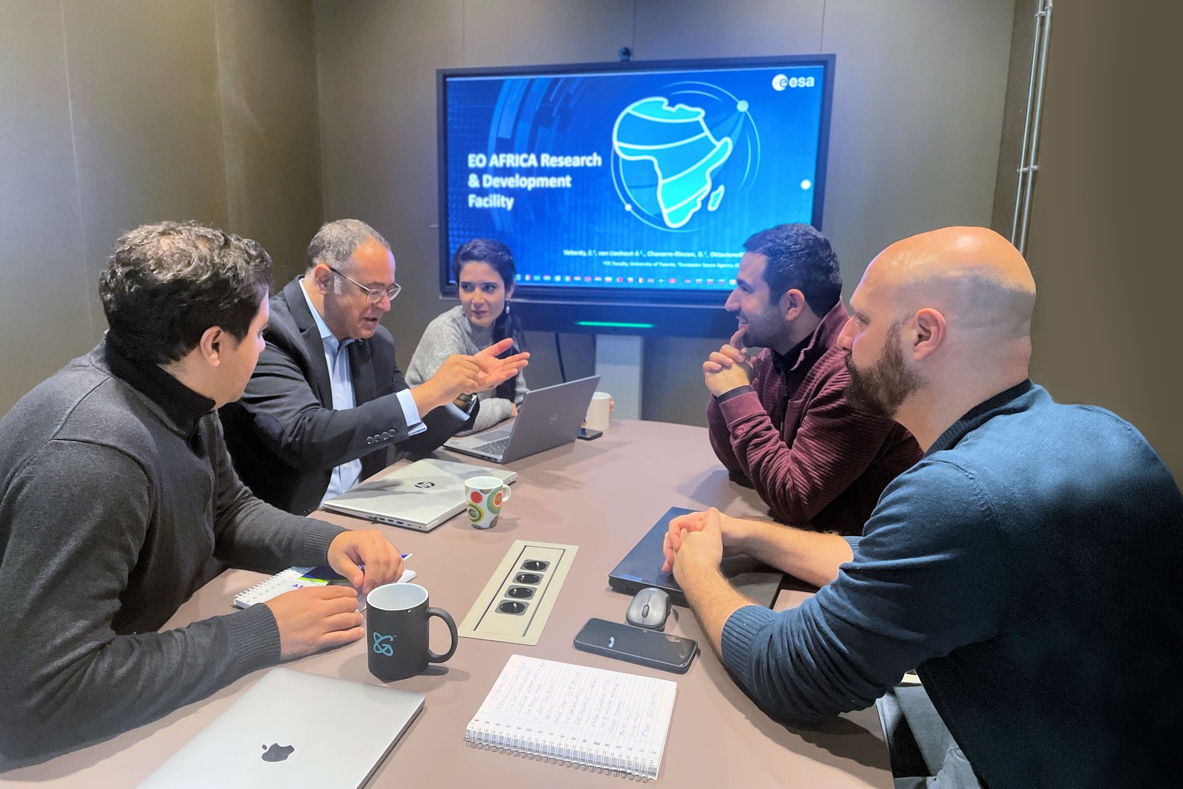
Winners of the call for African-led Training Material Design
ESA EO AFRICA R&D Facility, in collaboration with the African Union Commission (AUC), are pleased to announce that: As a result of the Call for proposals: African-led Training Material Design, five competitive African universities have been selected to develop university
Read more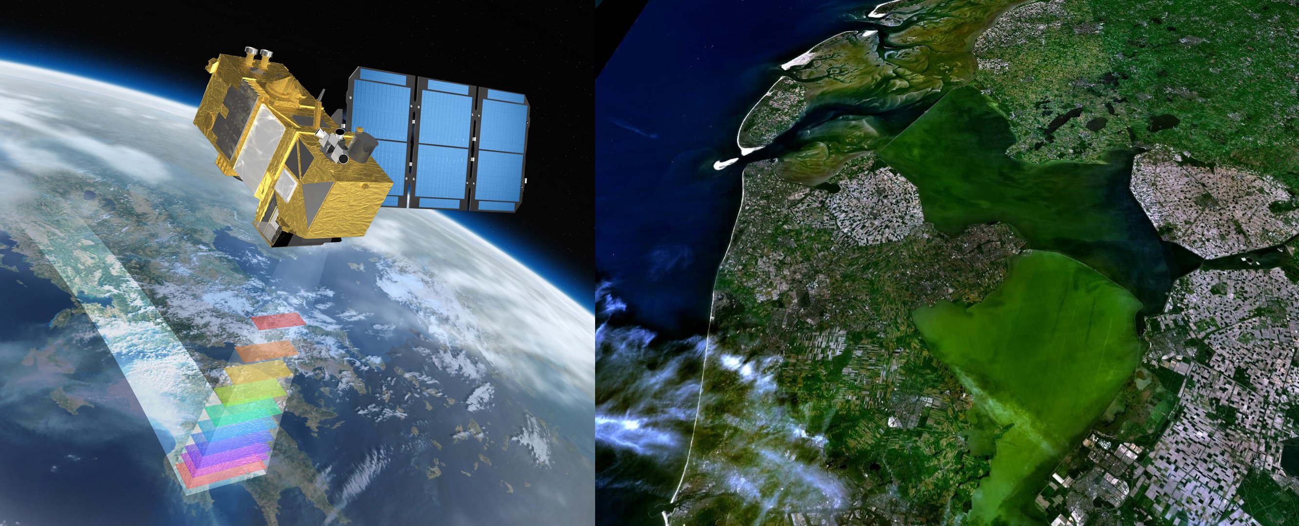
3rd on the EO AFRICA R&D Facility Second Phase Online Courses
- EO for Marine and Coastal Resources Applications (EO4COAST) | January 27 – February 21, 2025 | Online course with live-chat | This online course aims to provide the participants with the competence to use Earth Observation (EO) data and products to leverage the management of marine and coastal aquatic resources and policymaking.
2nd on the EO AFRICA R&D Facility Second Phase Face to Face Courses
- Face to Face course on Cloud Computing and Algorithms for EO Analyses | March 10 – 14, 2025 | Abidjan, Côte d’Ivoire | A 5-day course (6h per day), covering Cloud Computing and big geospatial data concepts, interactive computing with Python through Jupyter Notebooks, and access to EO data from DIAS platforms or via dedicated Python libraries and handling the data on the Cloud.
