In the framework of the ESA EO AFRICA initiative, the R&D Facility in collaboration with European Space Agency (ESA) and the African Union Commission (AUC), launched at the end of 2021 a call for research proposals to support African-European collaborative efforts to develop innovative, open-source EO algorithms and applications adapted to African solutions for African challenges.
Proposals in the themes of water scarcity and food security were expected to create EO algorithms and workflows by leveraging cutting-edge cloud-based data access and computing infrastructure. A budget up to 25,000 EUR for research activities during a period of 12 months, free access to cloud-based Virtual Research Environments through the Innovation Lab of the Facility, dedicated user and technical support, access to EO AFRICA Space Academy events, and integration into the EO AFRICA Network for international scientific collaboration, were the benefits offered to the research projects.
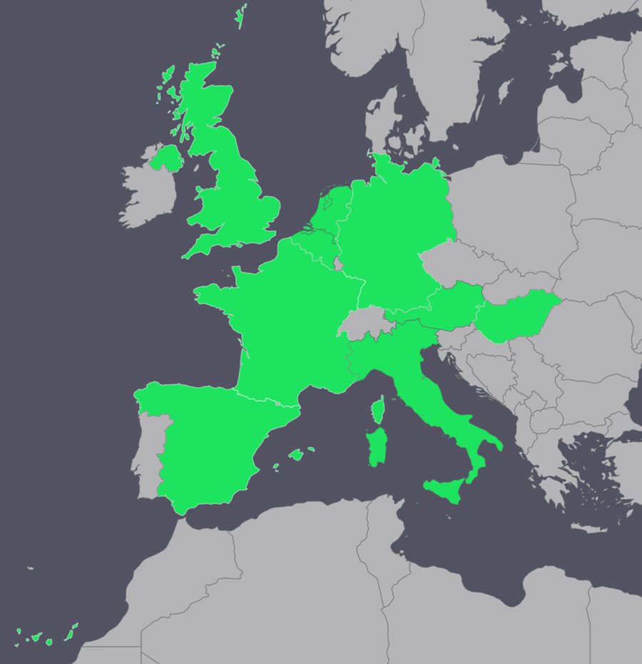
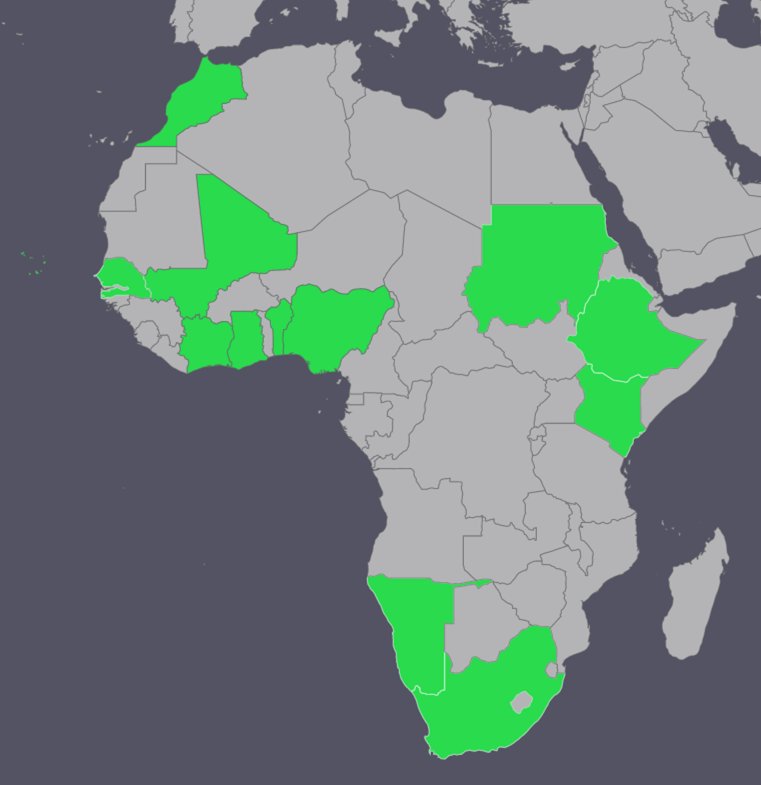
Following the evaluation of the proposals by the the Selection Committee in collaboration with ESA and AUC, 15 research projects (listed below) were awarded for funding from 12 African and 9 European countries.
Funded Projects in alphabetical order:
A compilation of the 15 projects can be downloaded here.
1A workflow for forecasting primary productivity and its determining climatic factors using remote sensing in the eastern Sahel regionDownload
presentation
Understanding the dynamics of primary productivity and determining climatic factors is essential to determine a given area’s socio-economic and ecological vulnerability. The eastern Sahel region has been described as a hotspot of land degradation, resulting in significant natural and human crises. While the region’s population is expected to grow faster than the rest of the world, the climate of the eastern Sahel is predicted to become more arid. As such, increased demand for food will likely coincide with a decline in agricultural productivity in the region. An innovative approach is required for positive transformation and effective natural resources management. In this regard, the use of earth observation (EO) data and inexpensive cloud computing technologies in Africa has been under-represented and, therefore, needs a dramatic boost to inform the sustainable management of primary productivity. This project aims to forecast primary productivity and climatic factors (soil moisture, precipitation etc.) using remote sensing techniques. The project seeks to develop an open-source interactive workflow to predict for 12 months ahead, considering the prevalence of subsistence livelihoods that largely rely on short-to-medium term preparations in the region. The project also offers hands-on training for African stakeholders to handle African challenges by leveraging cutting-edge open-source EO algorithms.
2Applying innovative cloud computing technology for the effective management of Groundwater resources to promote SUStainable food security within the Sokoto Basin, NigeriaDownload
presentation
The proposal focuses on assessing groundwater level within the Sokoto Rima Basin in the north-western Nigeria. The basin occupies approximately 64,000 km2, with an average elevation of 325 m OD, and underlain by multi-layered aquifer systems. The area is densely populated, with an irregular distribution of rainfall in space and time and a prolonged dry season. Hence, there is a massive dependence on local groundwater resources to meet the agricultural, domestic and industrial needs for the area. The system to be developed consists of five independent modular-structured processes, supported by data obtainable from both European Space Agency and third-party mission platforms. The system will allow the estimation of the recharge flux using soil moisture balance approach; quantitative groundwater resource assessment using calibrated and validated flow model; quantitative estimation of water requirements for agriculture, domestic and industrial purposes; training programs related to the developed system and effective water usage, and resource allocation under prioritized conditions. The workflow will be integrated within a Python-based open-source interactive notebook. The system will be activated in a typical serial processing mode, and the developed workflow will be published in an open access, peer-reviewed journal.
3Crop Stress Monitoring in the semi-arid context of Doukkala, MoroccoDownload
presentation
Responding to call objective Identifying and mapping crop stress/drought/failure, the project aims at developing a procedure for crop yield estimates and extreme events crops shocks monitoring or pest and diseases by integrating multiple satellite data and water-energy-crop modelling, able to support farmers precision agriculture. EO data from different sensors at high spatial resolution will be used to retrieve vegetation (e.g., leaf area index (LAI) from Sentinel 2, land surface temperature (LST) from the Third-party LANDSAT, and soil moisture (SM) from Sentinel 1). The innovative EO modelling chain will be implemented into open-source Jupyter Notebooks. The FEST-EWB energy water balance model (Corbari et al., 2011), coupled with the SAFY crop growth model (Corbari et al., 2021), will allow to compute continuously in time and distributed in space both soil moisture (SM) and evapotranspiration (ET) fluxes, along with crop yield. The model will be implemented in the African case study in Morocco, in the Doukkala irrigated area. Data assimilation procedures of different EO data will be routinely implemented along the crop season with the objective of detecting and monitoring crop exposure to shocks which are not reproducible by the model alone, which alter the canopy morphology and physiology.
4DroughT impACt on the vegeTation of South African semIarid mosaiC landscapes:
Implications on grass-crop-lands primary productionDownload
presentation
Semiarid rangelands (grasslands with scattered trees and shrubs) are one of Africa’s most complex and variable biomes. They are a mosaic of land uses, where extensive livestock is the main economic activity, and agriculture, soil for livelihood, or conservational uses are also crucial. They are highly controlled by the availability of water, e.g., pasture and rainfed crop production. Although the vegetation is adapted to variable climatic conditions and dry periods, the increase in drought intensity, duration, and frequency, changes in agricultural practices and other socioeconomic and environmental factors precipitate their degradation. Through the integration of EO data into models, we can evaluate, on the one hand, the water consumed by semiarid ecosystems and their vegetation water stress and, on the other, its primary production. Thus, allowing us to assess the interaction of both processes, improving our knowledge about the vegetation’ behaviour in the face of drought. TACTIC will map water consumption and primary production of semiarid mosaic crop-rangelands at the optimal spatiotemporal scales, setting up an open-source cloud framework to monitor these processes’ interaction in the long term and analyse system tipping points. This information can help reduce the uncertainty associated with the administration and farmers’ decision-making processes.
6Improvement of Agricultural Statistics in the cotton zone of Mali thanks to the synergy of the Sentinel-1 and 2 time seriesDownload
presentation
The European Copernicus program produces massive amounts of valuable data for crop recognition and monitoring provided it can be processed efficiently using cloud-based computing infrastructure to provide crop mapping and early estimates of agricultural land within a sufficiently short period of time. The project will allow a Malian team to demonstrate this processing capacity for an area of approximately 150,000 km² (estimated population of 8 million habitants in 2017) while testing the contribution of cloud-insensitive Sentinel-1 data. This ambition is possible thanks to open-source tools such as Sen2Agri and Sen4Stat and experience in field data collection acquired within the framework of the Sen2Agri project. The objective is to improve the agricultural statistics available in Mali for the main crops in the cotton zone using a transparent, precise and reproducible method. The sustainability of the project’s achievements is ensured by the financing of a doctoral scholarship for a member of the Malian team with the European partner.
7Integration of open-source solutions with deep learning for estimating crop production in data-scarce smallholder farming areasDownload
presentation
In smallholder farming areas where crop production is the mainstay of livelihood, early identification and monitoring of crop production status will be very useful for assessing the forthcoming food availability, food security and food market stability of the region at a preharvest season. In the presence of climate related shocks, this information would be even necessary for estimation of damage and further insurance pay-outs. Collection of this information through manual approaches is time consuming, influenced by human and technical bias and mostly impractical because of inaccessible terrain, resources and time. Presence of wide array of earth observing satellite has provided possibility of monitoring and mapping of objects and phenomena everywhere in the world. Though this is the general trend, mapping of crops and crop production using conventional approaches is challenging which is constrained by inherent characteristics of smallholder farming areas like seasonality of crops, fragmented small fields and dominance in complex topography. Therefore, in our proposed project we have planned to integrate optical and radar satellite imagery with artificial intelligence (deep learning models) with powerful statistical tools to map crop types and crop production in smallholder farming areas, in selected Ethiopian landscape using open-source innovative solutions.
9Monitoring by optical and radar satellite imagery of the level and volume of water in the lakes Buyo and Kossou dams in Côte d’IvoireDownload
presentation
Cote d’Ivoire like many countries in west Africa is experiencing climate change impact such drought which affect water resources. Indeed, the decrease in rainfall and runoff has significantly impacted the filling of dams (figure 1), the production of hydroelectric power, the supply of water to urban areas, and agropastoral activities (Fratmat, 2021). The Kossou and Buyo lakes and reservoirs, two large water reservoirs that are strategic for the Ivorian economy in terms of both agricultural and energy production, have experienced variations in water levels in recent years (figure 2). These variations are at the origin of load shedding, water shortages in Côte d’Ivoire and decreases in economic and fishing activities (Goli Bi et al. 2019). Indeed, in several regions of the country, access to drinking water and electricity are dependent on the level and volume of water present in these reservoirs (Jeune Afrique, 2018; Afrobarometer 2018 and 2020).
In response to these problems, Ivorian authorities have undertaken different strategies to ensure a sustainable management of water resources. These measures consist of monitoring water resources both quantitatively and in terms of its spatial distribution in order to have continuous long-term and readily available data on lakes of Côte d’Ivoire.
The water resources of lakes can be monitored in 3 ways: using in situ measurements, modeling process or based on remote sensing data. In recent years, water resources monitoring of Buyo and Kossou lakes has become increasingly difficult due to the decreasing number of measuring stations, the high cost of maintenance, the tedious collection and analysis of data, and the difficulty in modeling water resources.
The use of satellite data remains the only way to go. Indeed, recent developments in remote sensing technology has spawned more and more access to high resolution images that allow regular monitoring of lake extent in time and space. In addition, the use of satellite radar altimetry can contribute to monitor changes in lake water level. This study aims to monitor water volume fluctuations by combining in situ data, satellite images and several satellite altimetry measurements.
10Quantifying Soil Moisture from Space-based Synthetic Aperture Radar (SAR) and Ground-based Geophysical and Hydrological MeasurementsDownload
presentation
Soil moisture (SM), which is the water content in the soil, plays an essential role in agriculture activities. With climate change and global warming, water scarcity is exacerbating in many parts of the world. Africa is facing the most significant challenges of water stress because food production and security depend on those water resources. Thus, monitoring SM at high resolution is of vital importance for irrigation activities, estimation of crop yields, and food security. Our proposal focuses on a 100-meter resolution soil moisture product, whose resolution is suitable for agriculture studies, as this is a characteristic size of an agricultural parcel. We investigate the feasibility of using use Sentinel-1 C-band Synthetic Aperture Radar (SAR) data recorded in the VV (vertical-transmit, vertical-receive) polarisation to retrieve 100m SM every 6 days and combine it with ground high resolution (cm) measurements collected twice a day to both validate and improve the estimate. The innovation of our approach is the integration of large-scale satellite data with field-scale ground geophysical measurements, such as electrical resistivity tomography (ERT) and active multichannel analysis of surface waves (MASW), and point observations such as time domain reflectometry (TDR) to downscale the SM results both in space and in time.
11Rising with temperature! Reconstructing the hydroclimatic record of Lake Naivasha with Earth ObservationDownload
presentation
Recent observations have shown that the Naivasha Lake’s water level has been increasing at unprecedented rates, damaging the Lake’s ecosystem services and social-economic goods. Climate change is the leading hypothesis explaining the increase in water level. Precipitation analysis shows a drastic (>50%) increase in rainfall intensity over the Lake since 2018. This surplus of rains has caused an upsurge in river discharge from the Gligil and Maliwa rivers feeding the Lake. In addition, agriculture practices and land use increase sediment load in the rivers, which cause siltation. As the outflow rate of the Lake’s underground outlet is lower than the inflow, the water level rises, and fine sediment accumulates. Except for analysing the rainfall and river discharge data, there is no scientific evidence verifying and expanding on the climate change hypothesis. This project will research the climate change hypotheses and unravel the main drivers of rising water levels. We will use Earth Observation (EO) data and models to map the distribution of precipitation, evaporation, water extent and level, and the sedimentation rate. ITC and RCMRD will develop a framework integrating these EO-products to reconstruct the Lake’s hydroclimatic record and attribute the Lake’s water level fluctuations to the different hydro- meteorological drivers.
12Sentinel-1 and -2 data fusion for mapping smallholder cropping areas in southern Africa to support crop monitoring and yield forecastingDownload
presentation
Millions of people in sub-Saharan Africa depend merely on small-scale and rain-fed crop farming for their livelihood, but the changing global climate is threatening crop production in this region, with crop failure occurring frequently. Governments and donor agencies oftentimes intervene by providing food supplies to the affected communities to safeguard food security, but lack of timely information on affected areas undermines such efforts. Earth observation (EO) can provide timely information on crop development to identify areas at high risk of crop failure, but the generation of such information is hindered by lack of accurate basemaps for cropping areas to enable farm-level crop monitoring and yield estimation using satellite data. This project aims to fill this gap by (i) creating consistent reference dataset for cropfield boundaries to train and validate EO algorithm for mapping cropping areas, (ii) developing an innovative E0 algorithm and workflow for mapping cropping areas across a diversity of landscapes in southern Africa using imagery from European Copernicus Sentinel-1 and -2 satellites. The factors that affect accurate mapping of cropping areas across various landscapes in southern Africa will be identified.
13SENTINELs for Cape Verde Water & Food Security MonitoringDownload
presentation
Small Island Development States face particular challenges with respect to management of natural resources. As most Western part of the Sahel region, Cape Verde is particularly vulnerable to extreme climate i.e., rainfall variations, presenting an enormous challenge for water and food security. Recurring droughts are an entire part of its climate and socio-economic history. During the Atlantic cyclone season (Aug-Oct) however, severe weather, next to supplying rainfall and water resources, creates high hazards to natural resources, infrastructure and populations. Notwithstanding these environmental challenges, Cape Verde is successfully working towards sustainable use of its natural resource base, through development of tourism, marine resources, renewable energy and trade. However, rural populations remain dependent on rainfall, rainfed-irrigated agriculture for water and food security and income generation. Seasonal weather forecasts such as the WMO Regional Climate Outlooks give a generic 3-month forecast, but do not provide practical information for Cape Verde water resources & agricultural management. This is due to the small extend and steep topography of the islands, and cyclonic nature of most rainfall. Near real-time satellite-based spatial – temporal rainfall observations, coupled to vegetation-index based agricultural monitoring can provide more adequate information for water resources and agricultural prediction, incl. extreme weather event forecasting. The EO AFRICA SENCAPE project will design, implement and validate Sentinel and EU-Copernicus data derived cloud-computing workflows for rainfall, vegetation & agricultural forecasting, optimized for Cape Verde conditions, as an EO use case for small island development states.
14Towards daily maps of water hyacinth cover: exploiting synergies between Sentinel-2 and 3Download
presentation
Water HYacinth (WHY) is one of the world’s most disturbing invasive plant species. The weed is a nuisance to boat traffic and fishery, clogs water treatment plants and hydroelectric dams, and renders lakes and reservoirs unattractive to tourists. Removal of WHY is an expensive undertaking due to the sheer scale of infestation. Numerous studies have shown that dense, floating mats of WHY can be detected using satellite instruments such as MSI2 on Sentinel-2. The OLCI3 instrument on Sentinel-3 has a coarser spatial resolution and is less suitable for WHY detection. However, it achieves global coverage in two days, compared to ten days for MSI, providing an opportunity to monitor WHY at near-daily resolution. This is crucial, considering that WHY cover patterns are highly variable due the plants’ rapid reproduction and the influences of wind and currents. We propose the development of an algorithm that exploits the complementarity of MSI’s high spatial resolution and OLCI’s high temporal resolution to create daily maps of WHY cover. These would improve the understanding of the driving forces of WHY spread and aid policy makers in combating WHY or curbing its effects on traffic and fishing.
15West Africa Lake Monitoring SystemDownload
presentation
In most West African countries, water authorities face real challenges in monitoring and managing lakes. These challenges include the limitation of resources for continuous field-based data collection for the assessment of both the ecological status and the implementation of regulations measures on these water bodies. In such a context, remote sensing-based monitoring could provide a sustainable solution. The current study proposes to use EO data to develop an open-source online monitoring system (dashboard) on water quality and a traditional fish method (called acadja) for West African lakes to improve water management for food security. The issues that will be addressed are related to the spread of water hyacinth, proliferation of acadja and frequent algae blooms. Lake Ahémé and Lake Nokoué in Benin will be used as study sites to develop the dashboard. On these ecosystems field data will be used for accuracy assessment. A mid-term stakeholder meeting will be organised to demonstrate already implemented features and get their feedback towards an operational monitoring system. After the project the tool can be upscaled to other lakes in West Africa.