Events

22nd on the EO AFRICA R&D Facility Webinar Series

22nd on the EO AFRICA R&D Facility Webinar Series

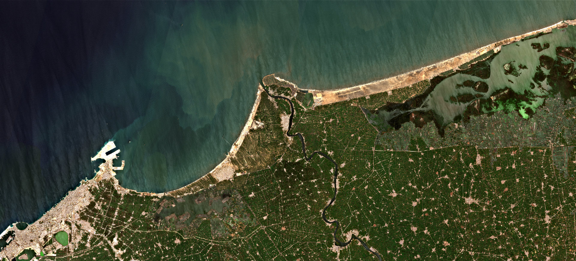
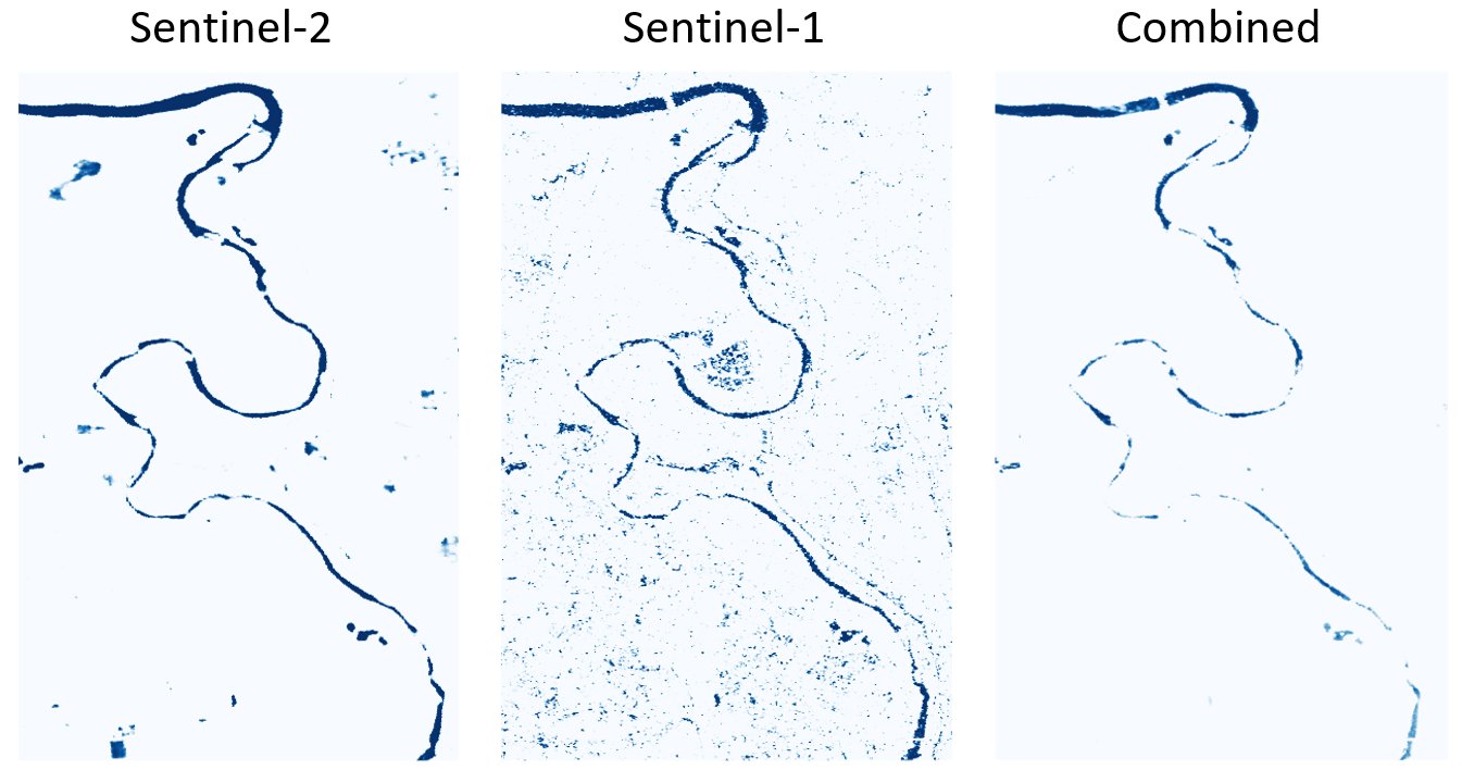
  • Combining optical and SAR data for mapping water bodies and floods | Wednesday, 15 October 2025, 14:00 CEST (UTC + 2) | Online webinar with live-chat | This webinar will discuss an approach for integrating Sentinel-2 (optical) and Sentinel-1 (SAR) water maps that was inspired by the Copernicus Global Flood Monitoring service, which combines flood likelihood maps from different SAR algorithms into an ensemble flood product.
Read more
19th on the EO AFRICA R&D Facility Webinar Series

19th on the EO AFRICA R&D Facility Webinar Series

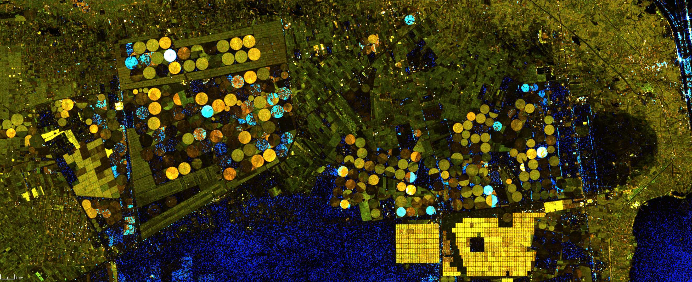
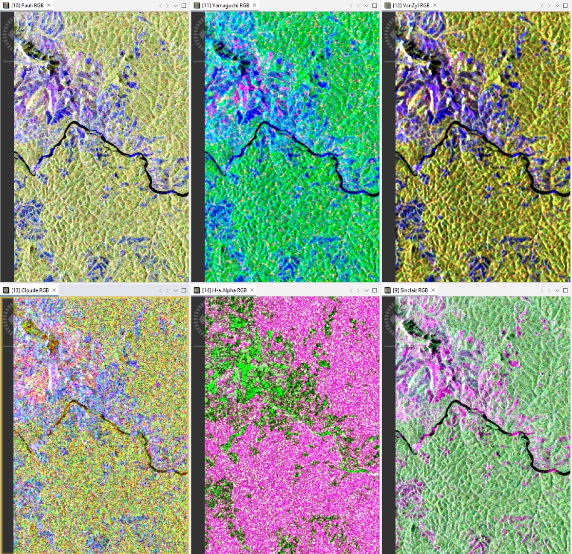
  • Introduction to PolInSAR for agriculture monitoring and mapping | Wednesday, 26 March 2025, 14:00 CET (UTC + 1) | Online webinar with live-chat | This webinar introduces the fundamentals of PolInSAR technology and its possible applications in agriculture monitoring based on selected case studies in Africa. We will explore PolInSAR capabilities in estimating vegetation height and biomass, tracking phenological stages, and improving precision farming practices.
Read more
4th on the EO AFRICA R&D Facility Second Phase Online Courses

4th on the EO AFRICA R&D Facility Second Phase Online Courses

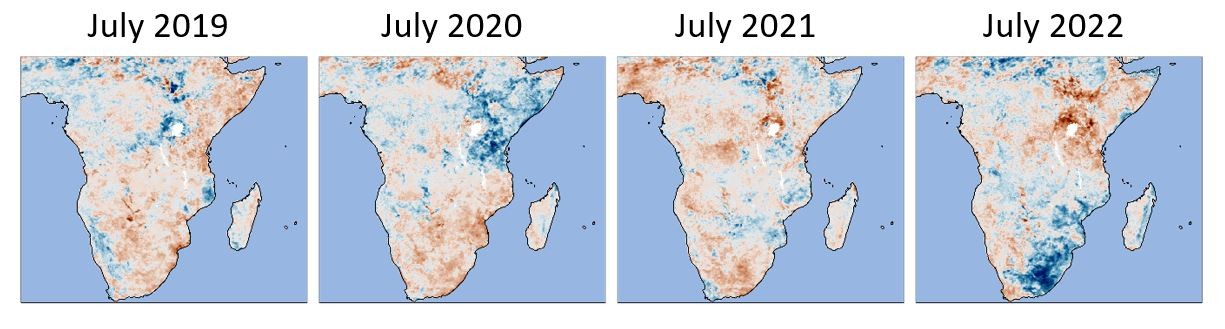
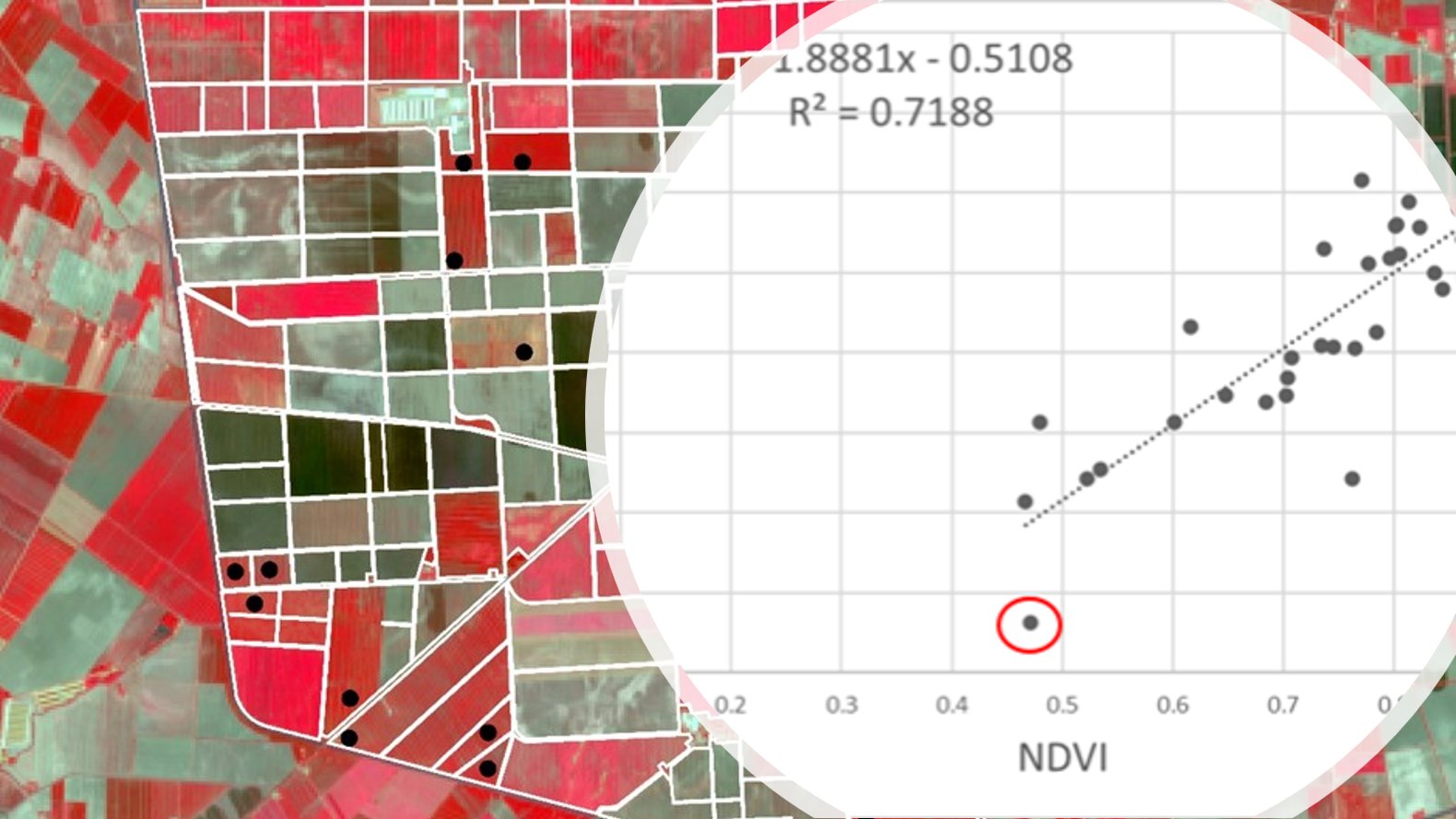
  • High-resolution crop monitoring for food security using EO | April 14 – May 9, 2025 | Online course with live-chat | The ever-increasing spatial resolution offered by the newest generation of satellite sensors allow us to monitor crops at the scale of individual parcels and to quantitatively estimate or predict agricultural production (area × yield) and water-use for applications in food security analysis.
Read more
18th on the EO AFRICA R&D Facility Webinar Series

18th on the EO AFRICA R&D Facility Webinar Series

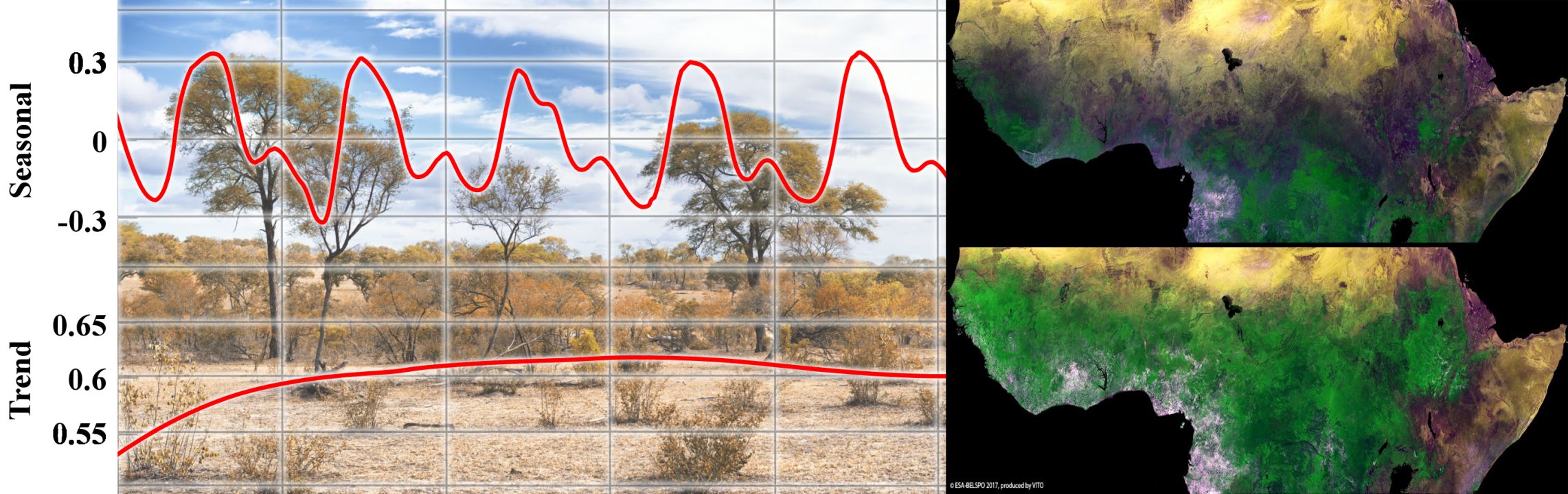
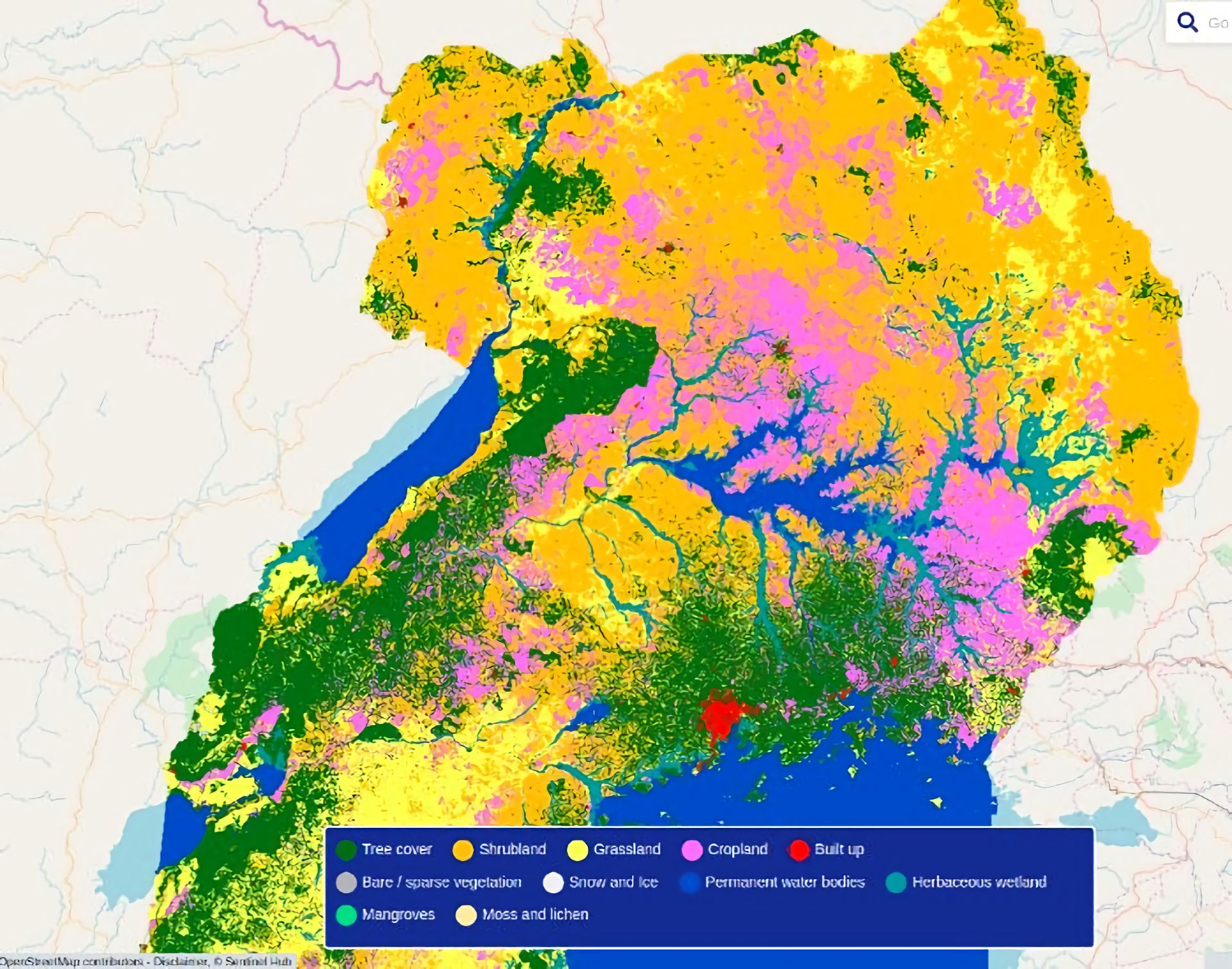
  • Mapping Our Planet in High Resolution: Advancing Land Cover and Degradation Monitoring with Sentinel Data | Wednesday, 5 February 2025, 14:00 CET (UTC + 1) | Online webinar with live-chat | This webinar explores how these innovations, coupled with emerging datasets and services, are being utilized to monitor global land cover and land degradation, supporting sustainable development and environmental conservation.
Read more