EO AFRICA R&D Facility Online Course
Low-resolution EO for drought monitoring
Introduction to the course
The ever-expanding spatial time-series offered by multiple generations of satellite sensors allow us to use satellite as “time machines” in monitoring and explaining trends in agricultural production and often-interlinked water-availability for applications in food security and rangeland management. This course will explore the potential of the temporal dimension of low-resolution satellite EO data for monitoring such dynamics over longer periods of time. Topics such as the detection of anomalies, trends and break points in the condition/productivity of ecological systems will be discussed, along with the concepts of ecosystem stability, resistance, and resilience and the design of early warning systems enabling forecasting of potentially disruptive events on food/fodder production levels at regional scale.
This course will provide/present participants with:
- Discovering relevant data sources and data analysis techniques related to low-resolution EO monitoring and estimation of regional food production and fodder production.
- An introduction to cloud-based EO data processing, including hands-on experience.
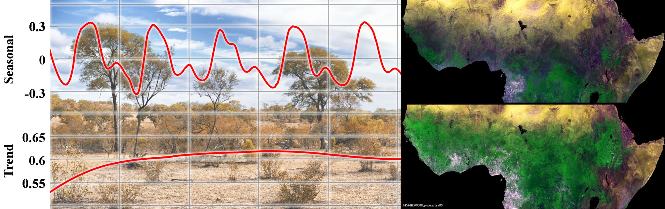
- Knowledge of key primary plant functions such photosynthesis and evapotranspiration (ET) and their intertwined role on primary productivity (NPP), incl. coupling to FAO WaPOR portal.
- Skill in low-resolution (1 km) EO assessment of agricultural droughts through vegetation index anomalies and how such data is used for e.g. farm-input insurance purposes.
- Understanding of forecasting systems of regional food production levels using the El Niño/Southern Oscillation (ENSO) teleconnection and its impact on vegetation growth and rainfall in Africa.
- Practical assignments to assess shifts in ecosystem functioning at low resolution incl. concept of turning points, rain use efficiency and change detection through time-series decomposition.
- Practical assignments to assess the remotely sensible effects of the alleged regreening of the Sahel using EO.
Mode of Delivery
The course consists of videos, lectures, quizzes, and practical exercises, supplemented by reading material and reference materials. All materials will be offered through the Moodle learning platform. Participants are expected to digest the training materials independently by themselves (with only ~2 hrs per week live teaching and Q&A foreseen where you can interact with the teaching staff hosted through Zoom and a Q&A forum).
Prerequisites
The participants are expected to have a basic knowledge on Earth Observation, Python programming and the use of cloud environments for EO image processing. All these can be acquired by attending the first two online courses of the EO AFRICA RDF series (Cloud Computing and algorithms for EO analyses; Principles of and advances in Earth Observation). Access to both courses will be given to those selected to attend this online course. Although having participated in those courses is certainly an advantage, candidates are not expected to have attended this course.
Selection
The course will be offered to a maximum of 65 participants. Selection will be based on relevant academic background and employment. Only applicants working for an African-based organization are eligible. We will strive to have a gender-balanced and country-balanced group of participants. Preference is given to candidates working as (MSc or PhD) researchers, post-doc, and university staff. Selection will be made two weeks before the course starts to provide early access to prerequisite online courses on Cloud computing and EO.
Certificate
You will receive a certificate of completion upon completing the End of Exercise Assignment.
Registration:
Teachers:
-

R&D Professional – Agricultural Applications, VITO Remote Sensing
https://remotesensing.vito.be/team/jeroen-degerickx
jeroen.degerickx@vito.be -

Assistant Professor – Department of Water Resources, Faculty ITC of the University of Twente
https://people.utwente.nl/e.prikaziuk
e.prikaziuk@utwente.nl