22nd on the EO AFRICA R&D Facility Webinar Series
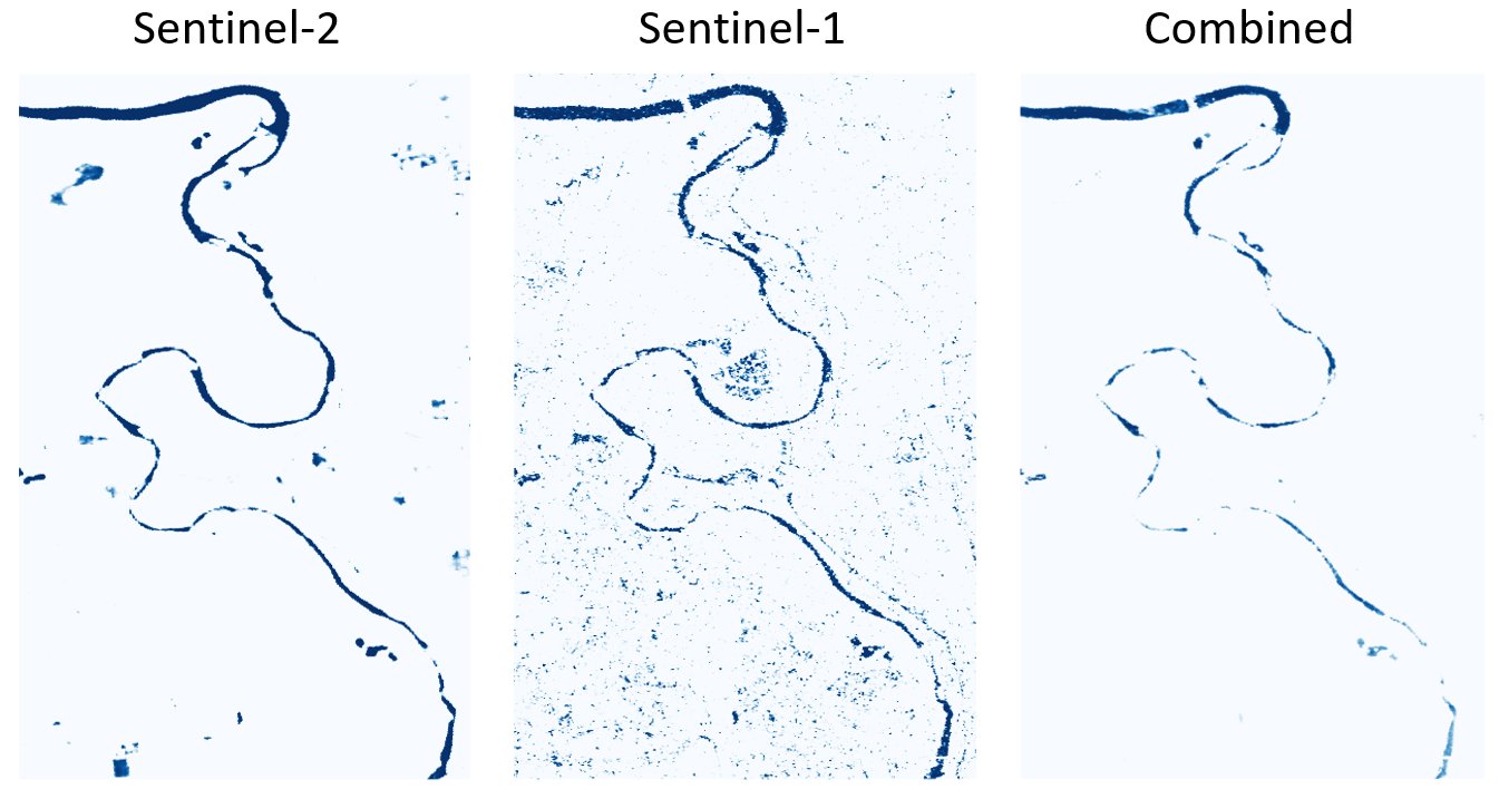
- Combining optical and SAR data for mapping water bodies and floods | Wednesday, 15 October 2025, 14:00 CEST (UTC + 2) | Online webinar with live-chat | This webinar will discuss an approach for integrating Sentinel-2 (optical) and Sentinel-1 (SAR) water maps that was inspired by the Copernicus Global Flood Monitoring service, which combines flood likelihood maps from different SAR algorithms into an ensemble flood product.


