EO AFRICA R&D Facility Online Course
Monitoring Vegetation Dynamics from Space
Introduction to the course
From early 2000 onwards, the availability of high-quality Hyper-Temporal (HT) EO data, has created an enormous number of additional possibilities to map and detect changes to natural and agricultural ecosystems as a result of climate change and human activities. In this course, you will be exploring the potential of the temporal dimension of satellite EO data for monitoring vegetation dynamics and land cover/land use changes over longer periods of time. Aside from learning the theoretical concepts of hyper-temporal monitoring, the participants will acquire practical skills in how to acquire, pre-process and analyse long time series of satellite EO data. More specifically, upon completion of this online course, the participant will be able to:
- understand the concept behind the design of early warning systems.
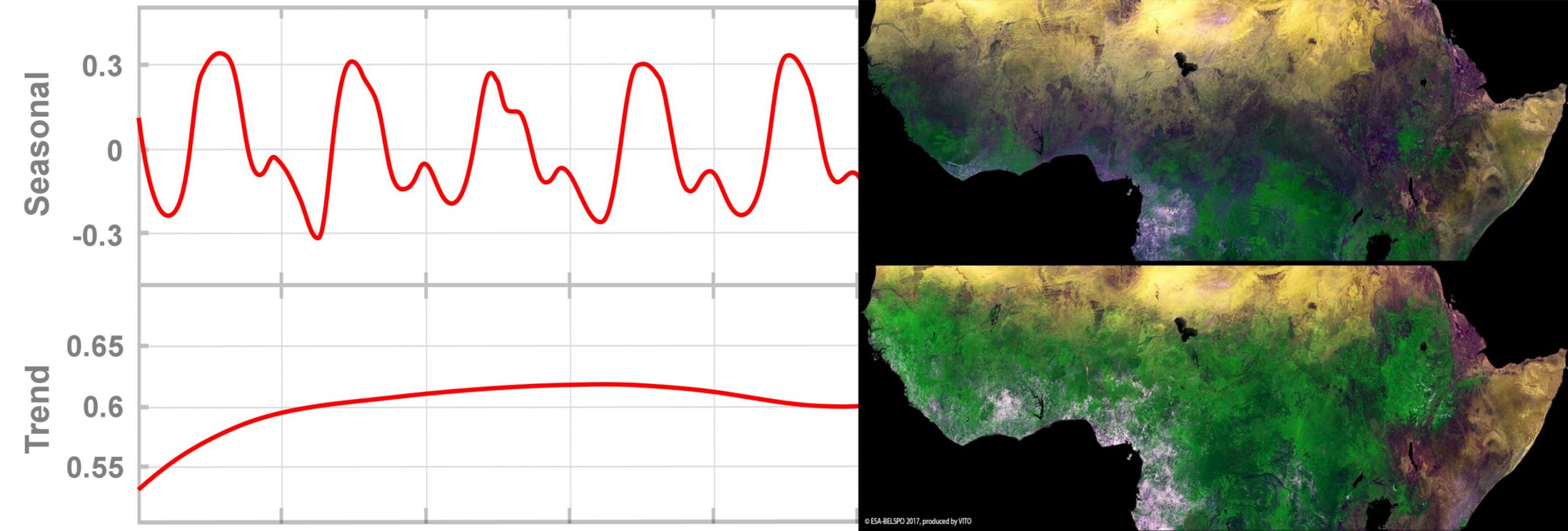
- list the distinct types of indicators related to change and dynamics one can derive from long time series of EO data and be aware of relevant applications for each of these.
- explain different techniques to conduct anomaly/trend analysis.
- understand the concept of error propagation when conducting change detection.
- use hyper-temporal imagery to monitor and carry out change analysis.
- conduct anomaly/trend analysis on vegetation condition/productivity based on low resolution satellite data.
- assess ecosystem stability, resistance and resilience based on long time series of EO data.
Mode of Delivery
The course consists of videos, PowerPoints, quizzes and practical exercises, supplemented by reading material and reference materials. All materials will be offered through the Moodle Cloud learning platform. Participants are expected to digest the training materials independently by themselves (i.e., no live teaching is foreseen). Interaction with the teaching staff will be possible through a series of dedicated live feedback sessions (hosted through Zoom) and a Q&A forum.
Prerequisites
The participants are expected to have a basic knowledge on Earth Observation, Python programming and the use of cloud environments for EO image processing. All these can be acquired by attending the first two online courses of the EOAfrica series (OC 1: Cloud computing and algorithms for EO analyses; OC 2: Principles and advances in EO). Access to both courses will be given to those selected to attend this online course. Note that this course is tightly linked to OC 5 (Hyper-Temporal Mapping of Agro-Ecosystems & Assessing Land Suitability). Although having participated in that course is certainly an advantage, candidates are not expected to have attended this course.
Selection
The course will be offered to a maximum of 65 participants. Selection will be based on relevant academic background and employment. Only applicants working for an African-based organization are eligible. We will strive to have a gender-balanced and country-balanced group of participants. Preference is given to candidates working as (Ph.D.-) researchers, post-doc, and university staff. Selection will be made two weeks before the course starts to provide early access to prerequisite online courses on Cloud computing and EO.
Registration:
Teachers:
-

R&D Professional – Agricultural Applications, VITO Remote Sensing
https://remotesensing.vito.be/team/jeroen-degerickx
jeroen.degerickx@vito.be -

R&D Professional – Agricultural Applications, VITO Remote Sensing
https://remotesensing.vito.be/team/wanda-de-keersmaecker
wanda.dekeersmaecker@vito.be